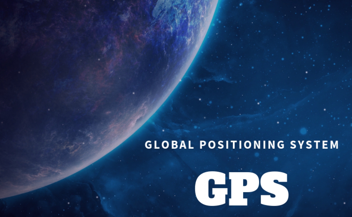
GPS : Global Positioning System
The Global Positioning System (GPS) is a space-based satellite navigation system that provides location and time information in all weather conditions, anywhere on or near the Earth where there is an unobstructed line of sight to four or more GPS satellites. It provides critical positioning capabilities to military, civil, and commercial users around the world and is freely accessible to anyone with a GPS receiver.
GPS is basically a Global Navigation Satellite System (GNSS) developed and maintained by the United States government. It uses a constellation of between 24 and 32 earth orbit satellites that transmit precise radio signals, which allow GPS receivers to determine their current location, the time, and their velocity. These satellites are high orbit, circulating at 14,000km/hr and 20,000km above the earth's surface. The signal being sent to the earth at the speed of light is what is picked up by any GPS receiver that are now commonplace worldwide. The first satellite navigation system, used by the United States Navy, was first successfully tested in 1960.
Using a constellation of five satellites, a GPS receiver calculates its position by precisely timing the signals sent by the GPS satellites high above the Earth. Each satellite continually transmits messages containing the time the message was sent, precise orbital information, and the general system health, current date and time of all GPS satellites. The receiver measures the transit time of each message and computes the distance to each satellite. A form of triangulation is used to combine these distances with the location of the satellites to determine the receiver's location. The position is displayed, perhaps with a moving map display or latitude and longitude; elevation information may be included. Many GPS units also show information such as direction and speed, calculated from position changes.
Several countries have developed or are in the process of setting up other global or regional satellite navigation systems.
GLONASS – Russia's global navigation system. Fully operational worldwide.
Galileo – a global system being developed by the European Union and other partner countries, which began operation in 2016, and is expected to be fully deployed by 2020.
Beidou – People's Republic of China's regional system, currently limited to Asia and the West Pacific, global coverage planned to be operational by 2020
IRNSS – A regional navigation system developed by the Indian Space Research Organisation.
QZSS – A regional navigation system in development that would be receivable within Japan.